
What is Canvas X GEO?
Combining a rich graphic toolset with sophisticated geospatial data handling, Canvas X Geo is a geospatial data illustration software designed to work in tandem with Geographic Information Systems.
- Represent, filter, and integrate a wide range of geospatial data formats in a single, powerful application
- Import and work with documents containing over one million objects in high resolution
- Drive seamless data collaboration thanks to numerous outputs, including maps, cross-sections, figures and presentation
Categories & Use Cases


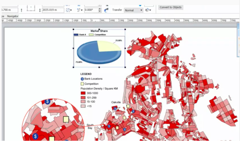
Screenshots
Technical Details
| Deployment Types | SaaS |
|---|---|
| Mobile Application | No |
FAQs
What are Canvas X GEO's top competitors?
ArcGIS and QGIS are common alternatives for Canvas X GEO.