Esri in Redlands, California offers ArcGIS, a geographic information system.
$100
per year
Cisco Spaces
Score 7.8 out of 10
N/A
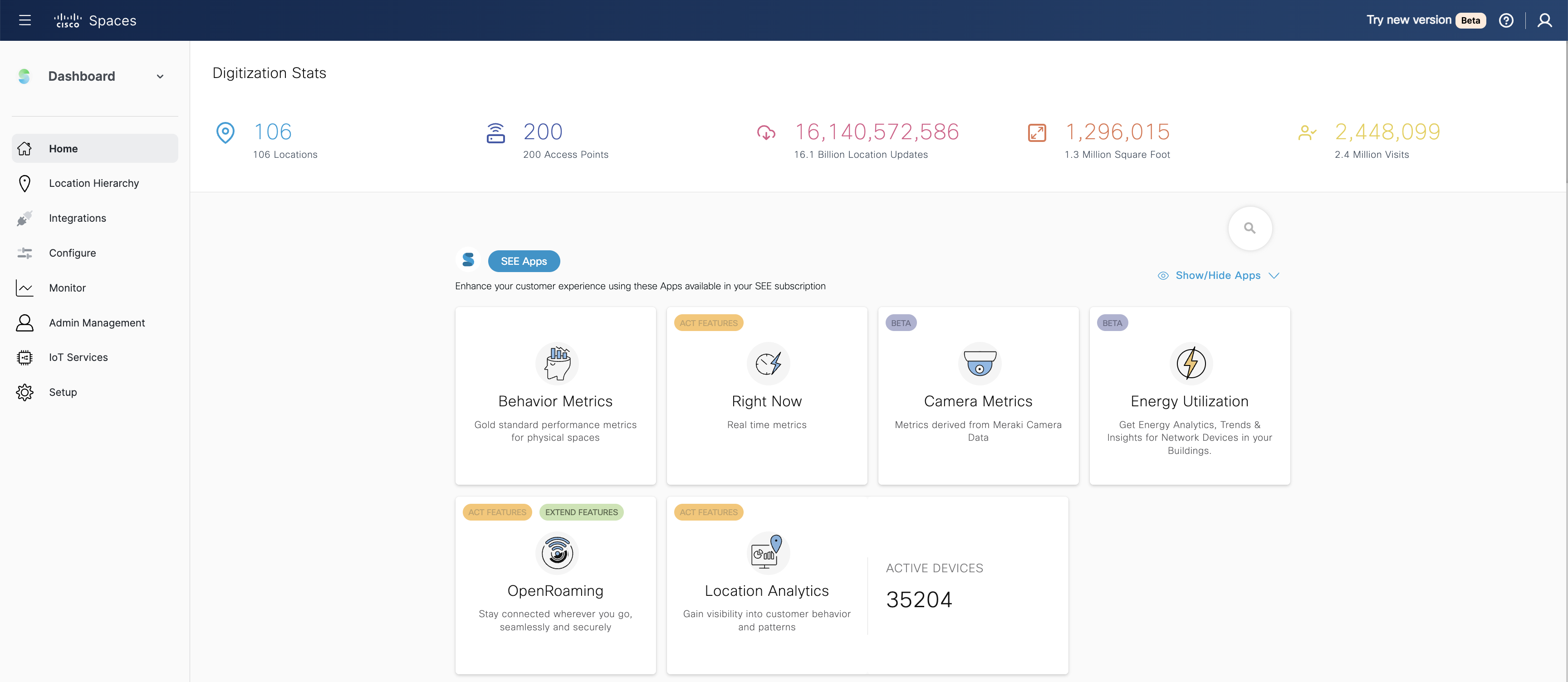
Cisco Spaces is a cloud platform that connects people and things with spaces to transform buildings into smart spaces. Using Cisco devices as sensors (Catalyst, Meraki, Webex) and the Spaces ecosystem, the aim is to make buildings safe, smart, sustainable, and seamless. Currently the platform has digitized 193,781+ buildings, 72,836+ devices and has over 8,000+ global enterprise customers.
I'm very grateful to be able to use it, and I have a master's degree with a focus in Geospatial Analysis. There can be a bit of a learning curve, and I try to build user-friendly ways for volunteers to see & collect data. Meanwhile, if a colleague is less confident with building such a system, it may be more difficult for them to implement.
I think it's well suited for real estate management teams when they are drowning in data, but they're starting from insights. I think that's most appropriate. It's possibly not the right solution for smaller sites. So if it's very obvious where you need to go or you don't need that visibility because the office is particularly small, it doesn't make sense at all.
It does, especially while integration with other systems. That's my favorite functionality of it, is anything that we've asked it to integrate with, there's always an integration or it can be designed relatively easily.
It's also very user-friendly. We trained a bunch of non-technical people, our security team to be able to track and see when devices are being stolen versus being in the hospital, and how to try and secure the devices a little bit better ever.
There's actually only one. It is easy to use, easy to deploy, but in the back end, you guys have a partnership in general with AT&T and T-Mobile. I'm looking for you guys to have Verizon added to that. So I know you guys are working on that, but that's probably the biggest thing I have.
Simply because the program deserves it. It seems to me that it is a fundamental tool for the storage, analysis, and interpretation of medium and large-scale phenomena, unmanageable with traditional engineering software. Its versatility in the handling of the different "layers" with which the data is handled and interpolation tools, make this software a powerful ally both for companies and for the educational part of the universities.
There is a strong commit from the management team to continue our investment into Spaces. We are currenly looking into options how to expand occupancy visibility into all meeting rooms (also those without collaboration device deployed) to gather even more granular real time data for all meetings rooms. So based on recent discussions I don't see the reasons, why we wouldn't proceed with the Spaces adoption.
Once set up, the tools are extremely easy to use. I had a staff member develop a tool for field data collection, that included an external and internal dashboards to monitor progress in days. The field workers that collected the data, barely knew how to use a computer, and within minutes they could use the application that was configured for them.
Spaces is very easy to use. I am glad that Cisco took the DNA platform and made it more user friendly. It is a simple single pane of glass that has every thing you need in one place. To me, it is very self explanatory
ArcGIS' web support is quite good. They also have a broad user base that is active in answering community members' questions. For more sophisticated questions, ArcGIS technical support is good at answering questions, although answers usually are not instantaneously available. I'd also say that ArcGIS is working hard at making its technical support more reachable, at least it appears that way.
Support staff is very helpful and responsive. When they give you a window of when they will get back to you, they try to aim to wait as minimal as possible. Support tries to have a least an idea of what the problem is and ask what troubleshooting have you done. They would prefer not to have to go over troubleshooting steps that didn’t work before.
My students love the "drop" feature in Google Maps, but besides that it truly doesn't compare. I love that you can add, delete, or change layers to this map to better understand its larger affect. There are many more ways to manipulate maps on ArcGIS than on Google Maps. I can also add personal details and information if I want to create a specific map, something that I am unable to do with Google
People counting. Cisco Spaces integrates with Kio Cloud to enhance location-based services by enabling IoT-driven insights and automation. Kio Cloud is a cloud-based IoT management platform designed to work with Cisco Spaces' IoT Device Marketplace, allowing organizations to manage, monitor, and gain insights from a wide range of IoT sensors and devices.
So we haven't had necessarily an ROI from the product because we haven't used it to substantiate anything else except for DAS. So when I look at a distributed system like DAS from an accelerator client, it's easily one-quarter of the price.