TrustRadius: an HG Insights company

Save this comparison

Save this comparison

Add Product

Recommended Comparisons

    Overview
    ProductRatingMost Used ByProduct SummaryStarting Price

    GeoHECRAS

    Score8 out of 10
    N/AGeoHECRAS is an engineering software package from CivilGEO headquartered in Middleton, designed to significantly speed up HEC‐RAS model creation and review, producing better and more accurate results. Compute water surface profiles for steady and unsteady flow models, bridge and culvert roadway crossings, FEMA floodplain encroachments, stream restorations, inline reservoir structures, and off-channel storage areas.N/A

    RWIND 2

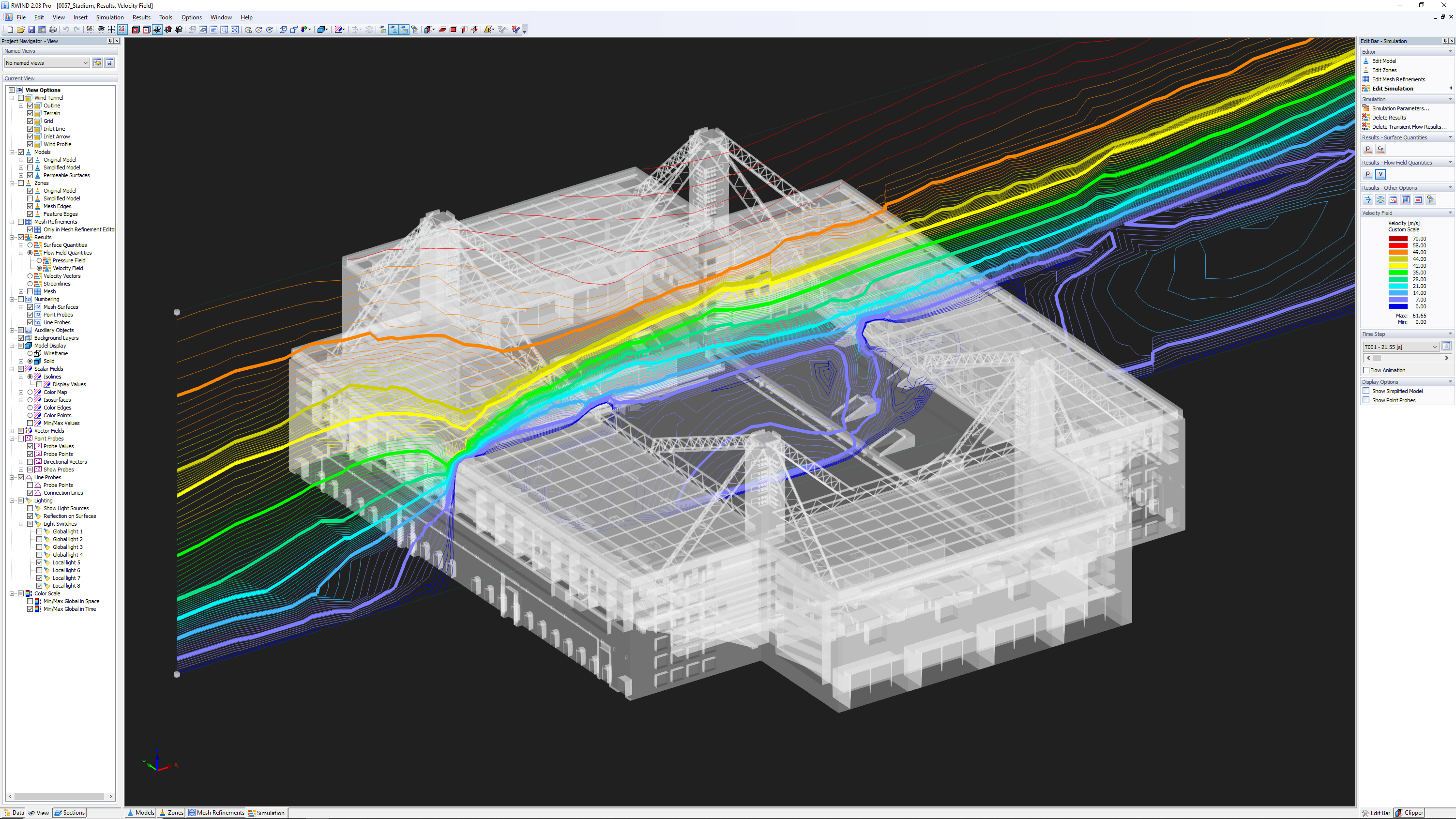
    N/AN/ARWIND is a program (digital wind tunnel) for the numerical simulation of wind flows around any building geometries with determination of the wind loads on their surfaces. RWIND is available as a Basic and Pro version.

    $3,080

    one-time fee

    Pricing
    GeoHECRASRWIND 2
    Editions & Modules
    No answers on this topic
    No answers on this topic
    Offerings
    Pricing Offerings
    GeoHECRASRWIND 2
    Free Trial
    YesNo
    Free/Freemium Version
    NoYes
    Premium Consulting/Integration Services
    NoNo
    Entry-level Setup FeeNo setup feeNo setup fee
    Additional Details——
    More Pricing Information
    Best Alternatives
    GeoHECRASRWIND 2
    Small Businesses
    Civil 3D
    Score9.5 out of 10
    Civil 3D
    Score9.5 out of 10
    Medium-sized Companies
    MicroStation
    Score6 out of 10
    MicroStation
    Score6 out of 10
    Enterprises
    No answers on this topic
    No answers on this topic
    All AlternativesView all alternativesView all alternatives
    User Ratings
    GeoHECRASRWIND 2
    Likelihood to Recommend
    10.0
    (1 ratings)
    -
    (0 ratings)
    User Testimonials
    GeoHECRASRWIND 2
    Likelihood to Recommend
    CivilGEO, Inc
    It is well suited to determining the capacity and flood levels for existing structures and sizing proposed structures based on the existing flood levels. In cases where we do not have sufficient information for proposed developments that need to be included in terrain for modeling, it can be challenging to modify the terrain, however, I think this would be the case for most software.
    Incentivized
    Read full review
    Dlubal Software
    No answers on this topic
    Pros
    CivilGEO, Inc
    • Ease of use - functionality
    • Accurate results
    • Considers all types of scenarios and structures etc.
    Incentivized
    Read full review
    Dlubal Software
    No answers on this topic
    Cons
    CivilGEO, Inc
    • When dealing with large files, the interface can be slow at times
    Incentivized
    Read full review
    Dlubal Software
    No answers on this topic
    Alternatives Considered
    CivilGEO, Inc
    Other software not on the list includes HEC-RAS and SWMM / PCSWMM. Initially, we had to use multiple software before going to HEC-RAS to complete projects. Now we are able to complete the entire project on GeoHECRAS alone with so many different features which enable us to analyze various different scenarios with ease.
    Incentivized
    Read full review
    Dlubal Software
    No answers on this topic
    Return on Investment
    CivilGEO, Inc
    • Greatly improved timelines for finishing a project as everything can be completed together on GeoHECRAS without having to use other software etc.
    • No negative impact thus far.
    • Makes working on these type of projects easier.
    Incentivized
    Read full review
    Dlubal Software
    No answers on this topic
    ScreenShots

    GeoHECRAS Screenshots

    Screenshot of Assign Land Cover DataScreenshot of Digital Terrain Cross Section CuttingScreenshot of CAD and GIS IntegrationScreenshot of 2D Mesh Generation and RefinementScreenshot of Adaptive 2D Mesh

    RWIND 2 Screenshots

    Screenshot of RWIND 2 | Wind Simulation (Wind Tunnel)Screenshot of RWIND 2 | Wind Simulation (Wind Tunnel)Screenshot of RWIND 2 | Wind Simulation (Wind Tunnel)Screenshot of RWIND 2 | Wind Simulation (Wind Tunnel)Screenshot of RWIND 2 | Wind Simulation (Wind Tunnel)